Tuesday, 20 December 2011

Masters in GIS & Archaeology (MSc) to start at Edinburgh University

0 comments


     From September 2012 the University of Edinburgh will be launching a new masters programme - GIS & Archaeology. 

     "The GIS & Archaeology programme at Edinburgh is unique. It builds on our reputation as a centre of excellence in Geographical Information Science (GIS), with a pedigree in archaeological teaching and research which extends back into the 19th Century. It is designed to combine GIS and archaeology into a programme with a distinctive Scottish flavour, while being outward-looking and encompassing international perspectives."

     This is a masters I can thoroughly recommend, with a programme of courses that will be both challenging and rewarding. An understanding and firm technical grasp of the use of GIS in archaeology will set students up for the commercial workspace as well giving them a much needed edge over recent archaeology graduates at a time when employment can be hard to come by.

Wednesday, 5 October 2011

New Background Maps in ArcGIS

0 comments


   Esri has launched a series of new background 'canvas' maps. These can be loaded into the newer versions of ArcGIS and provide a less cluttered mapping option. Check out the link below to visit the ESRI Mapping Center and a discussion on the new features;


Tuesday, 4 October 2011

The Mannahatta Project - GIS and 3D landscapes

0 comments
    TED talks are amazing!! The fact I can watch them on my huge TV via my Apple TV or Wii makes the experience even better (not to mention the excellent iPhone app). This talks looks at the use of GIS and 3D modelling to genertate the historic landscape of Manhattan prior to the settlement we are used to.

    "400 years after Hudson found New York harbor, Eric Sanderson shares how he made a 3D map of Mannahatta's fascinating pre-city ecology of hills, rivers, wildlife -- accurate down to the block -- when Times Square was a wetland and you couldn't get delivery."

Wednesday, 21 September 2011

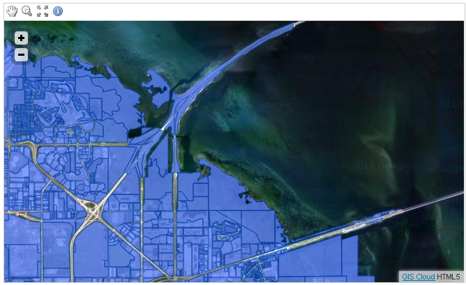
GIS Cloud Starts HTML5 Mapping Revolution!

0 comments

GIS Cloud Starts HTML5 Mapping Revolution! 


  One of the biggest benefits of vector mapping is interactivity. The map is not just a flat raster anymore, it’s a fully interactive surface. Each object can be clicked and styled dynamically, and gives hover feedback!


  HTML5 is great for mapping not only because it can render maps very quickly, but also because it is a standard. It works on the desktop, on the web, on smartphones and on tablets which means your GIS can work on those devices as well! No need to build native apps for each of those platforms, with HTML5 you get high performance right from the browser.

Thursday, 15 September 2011

Are the Ice Sheets shrinking??

0 comments


According to the Times Comprehensive Atlas Of The World the Greenland ice sheet and Aral Sea are shrinking. But is this just an error on their part by misinterpreting ice sheet data. There's already much debate amongst glaciologists I know.

Monday, 18 July 2011

Revolver Maps

0 comments


  A very cool display of hits to your website. I'll be adding it soon. You can even click on the globe and revolve it!

Thursday, 14 July 2011

Swinglet - The easy to use flying camera

0 comments


This is awesome!!! I really want one. How cool would it be to have one of these flying over our archaeological sites. Watch the video on the page to see how it works!