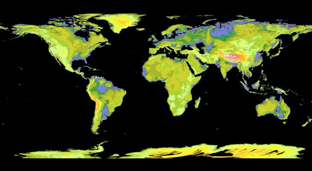
The instructions for use are very simple and the resulting download can be opened in ArcGIS
How to select a desired area;
Step 1 : Define the area of interest by specifying location name, selecting  or
or  , click and drag a rectangle
  or polygon
  , or input coordinates by selecting
  .
.
 or
or  , click and drag a rectangle
  or polygon
  , or input coordinates by selecting
  .
.Step 2 : Click Log In and sign on using your WIST/ECHO account.
Step 3 : Click  , specify data name, projection, format and other output setting, then submit the request.
 , specify data name, projection, format and other output setting, then submit the request.
Step 4 : Preview and download  the output data.
 the output data.


